
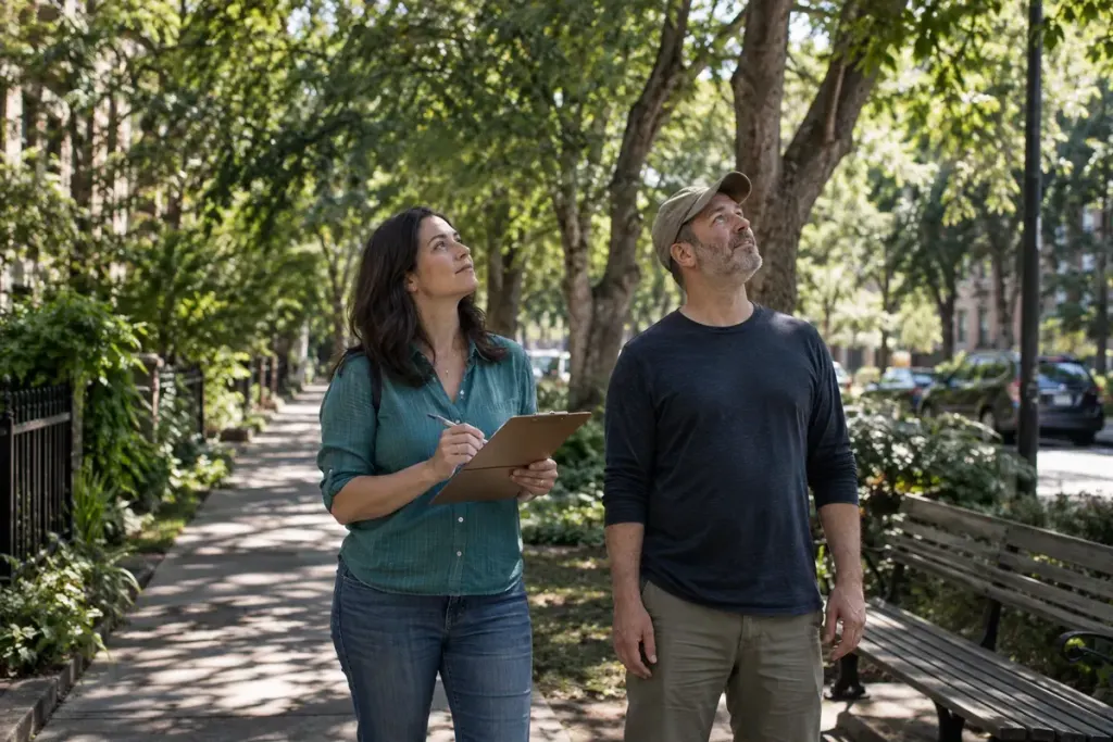
A street can look green in a photograph while offering little shade where people wait or walk. The trees may be on the opposite side, the bench may sit in full sun, or the useful shade may disappear at the time the route is busiest.
A short observation walk can help a community describe that problem more clearly. It is a way to collect practical notes for a conversation, not a scientific heat survey or proof that a particular planting scheme will solve it.
Choose one route and one question
Keep the first exercise manageable: the path from a bus stop to a community building, for example. Ask where people currently find shade and where an important stopping point remains exposed. Use a route that can be observed safely from public space.
The US EPA’s overview of trees and vegetation explains their cooling role and links to guidance for communities. It provides background for the topic; it does not tell you which species, location or intervention is suitable for your particular street.
Record conditions alongside the observation
Note the date, approximate time, weather and point on the route. Describe what you can see: “bench partly shaded at 10:30” is more useful than “this is the cool section.” A map mark or a photograph of the place can help, provided you avoid identifying people unnecessarily.
If you revisit at another time, keep the observations separate rather than overwriting the first note. Sun angle, weather and seasonal foliage can change the picture. Several short visits in comfortable conditions may be more informative than one long walk.
Include how the space is used
Look beyond the walking line. People may need shade while waiting, resting or assisting a child. Ask local users which points matter to them, while making clear that you are gathering views rather than promising a project.
For an illustrative example, a route may have shaded trees halfway along but no comfortable waiting space at its entrance. That suggests a different discussion from simply counting trees. Do not assume a bench or new tree can be installed without permission, maintenance planning and an accessibility review.
Keep observation separate from measurement
Shade notes cannot establish air temperature, surface temperature or a person’s heat risk. If a group wants to collect measurements, it needs an appropriate method, equipment and a consistent protocol. A phone photograph or a casual reading is not enough to compare whole neighbourhoods scientifically.
Plan visits around comfortable conditions and follow local weather and heat advice. Do not organise a strenuous walk during dangerous heat to make the problem more visible. Existing photographs, maps and conversations can support a discussion when a visit is unsuitable.
Turn the notes into a specific request
Summarise the route, the times observed, the gap you noticed and the questions still open. Share that with the relevant landowner or local authority through its official route. Ask what options can be assessed, including maintenance and underground-service constraints.
A useful first result is a clearer problem statement. It gives residents and the responsible organisation something concrete to discuss, while keeping the difference between a local observation and an expert design assessment visible.
Related reading: A Small Repair Session Works Better When Its Limits Are Clear.